Participants from
Global; Virtual
Description
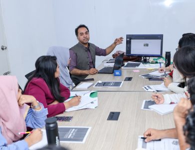
The TechCamp Program is collaborating with MapGive and YouthMappers to provide virtual trainings on Participatory GIS, Mapping, Data Collection, and Data Visualization for program Alumni!
The Trainings will take place in three geographic locations and two languages, to better serve our global alumni:
1) Bangladesh, English language, BST= Bangladesh Standard Time
2) Malawi, English language, CAT = Central Africa Time
3) Paraguay, Spanish Language, PYST = Paraguay Summer Time
You do not need to live in the region of the training that you are signing up for; select the training that best suits your local time zone and language skills. You must complete all four modules to receive a certificate of completion.
To register for the webinars, Click Here and complete the registration form.
MapGive: What do we do?
MapGive is a U.S. Department of State initiative that encourages and increases participation in the global mapping community and facilitates the creation of open geographic data to support humanitarian relief and development programs. As part of its mission, MapGive identifies and creates opportunities where open mapping can support existing State Department programs to better support humanitarian and development needs. Visit MapGive to get started mapping now.
YouthMappers: Who are We?
We are a global community of students, researchers, educators, and scholars that use public geospatial technologies to highlight and directly address development challenges worldwide. YouthMappers was envisioned to fulfill the demand for open geospatial data access in all parts of our world. A generation of empowered young people has emerged, who have become leaders in creating resilient communities and have defined their world by mapping it.
The YouthMappers Motto is “We don’t just build maps. We build mappers.”
Webinar Modules:
Module 0: Pre-workshop home work
Est. time: 1 hour
1. Register at OSM
2. Register at Kobo Collect
3. Download and Install JOSM
4. Download and install QGIS
Module 1: Introduction and Orientation
Est. time: 2 hours
1. Basic OSM training
2. ID editor training
3. Kobo Collect training
Module 2: Participatory GIS, Ethics and human subject considerations
Est. time: 2 hours
1. Principles of Participatory GIS
2. Ethics and Human Subjects regulations
3. How to set up a remote mapping workflow
4. Writing good questions
Module 3: Introduction to JOSM and QGIS
Est. time: 2 hours
1. JOSM training
2. QGIS training
Module 4: Data visualization and data management
Est. time: 2 hours
1. Principles of data visualization
2. Some apps for data viz
3. Data management issues
4. How to Train the Trainers
Timezone abbreviations:
PYST = Paraguay Summer Time
EDT = Eastern US daylight time
EST= Eastern US Standard Time
CAT = Central Africa Time
BST= Bangladesh Standard Time


